
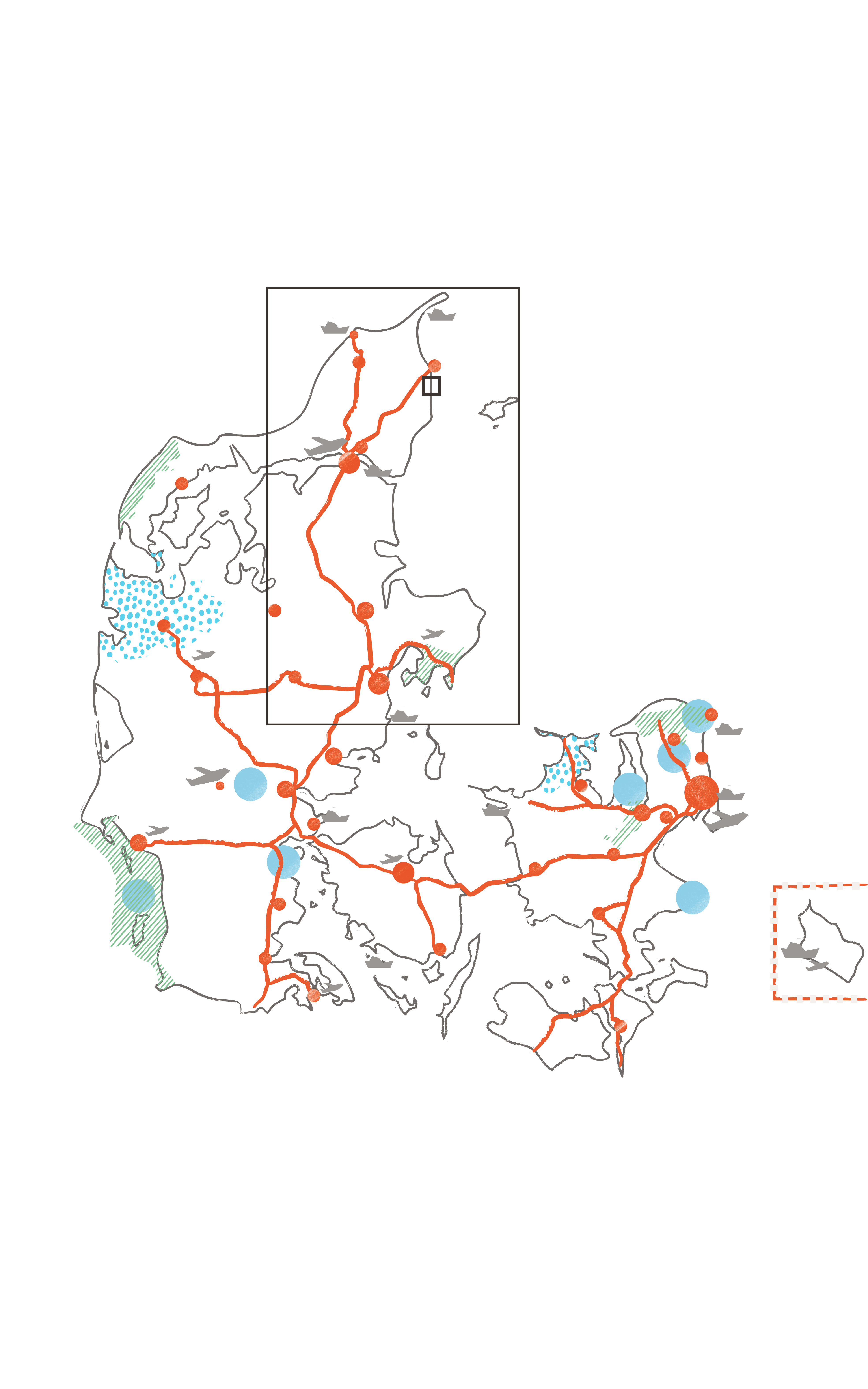
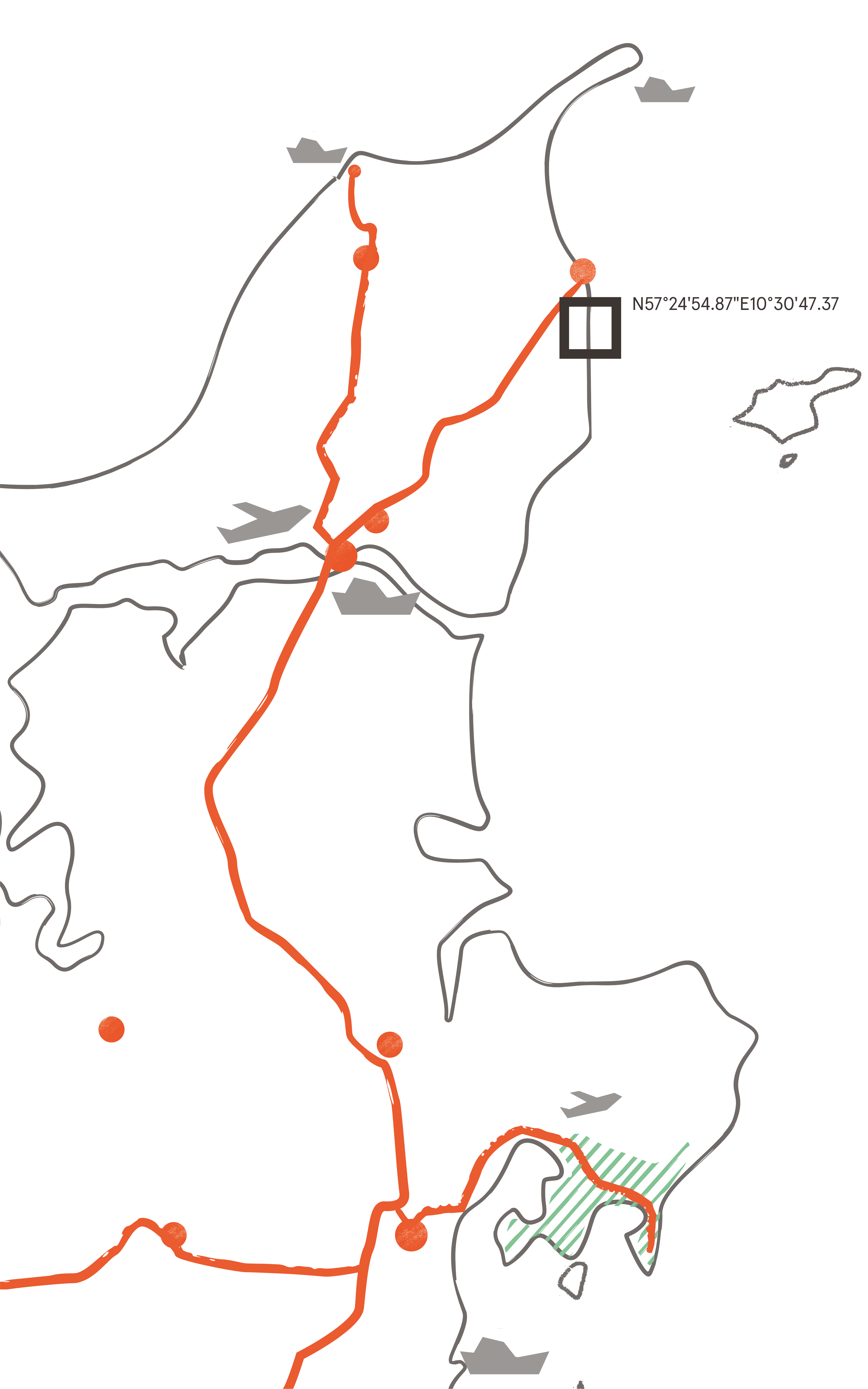
Pikker Hill, Frederikshavn
 Path
Path
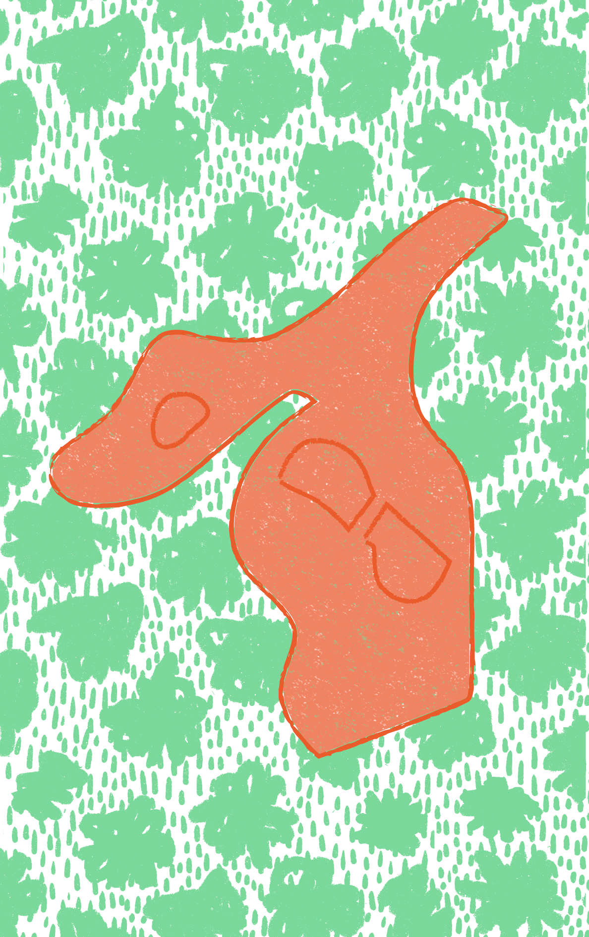
The viewing platform has the shape of the tip of Skagen. It extends from the top of Pikker Hill out over the slope overlooking the sea and the city of Frederikshavn.

Cities and towns

National parks

UNESCO sites

UNESCO global geoparks

Main roads

Airports

Cruise ports

Case

Infrastructure

Grass

Trees / Forest
Ancient shoreline
The 71-metre-high Pikker Hill just south of Frederikshavn is the largest land uplift in Denmark and part of a three km long distinctive coastal slope formed by the Yoldia and Litorina seas during the ice age, more than ten thousand years ago. For many years, this remarkable place has been used as an excursion and picnic destination by locals and tourists. In order to accommodate the many visitors and provide a more robust and permanent structure, the municipality has established a small podium and viewing platform underpinning the gathering place and natural outlook.
Robust platform
Shaped as the northern tip of Jutland, the cantilevering platform offers a unique view of the city’s landscape setting, the harbour, and the small Archipelago of Hirsholmene, as well as a view of the distant cities of Sæby and Skagen. The site also features the small national monument Kongesten (The King Stone), with the signature of King Frederik VIII, King Frederik IX and Crown Prince Frederik X. The site is one of Frederikshavn's most scenic landscape attractions and has become a favourite location for weddings. The new design integrates the historical monument with the natural setting while at the same time offering a spacious gathering place. All orchestrated through relatively simple design solutions: steel, wood and concrete.

Key facts
- Location
Hill south of the city of Frederikshavn
- GPS points
N57° 24’54.87’’ E 10°30’47.37’’
- Protection Framework
Danish legislation
- Estimated number of visitors
- High season
- Low season
- Project Owner
Public - Frederikshavn Municipality
- Designer
Designed by architect Marie Staal
- Year of construction
2018
- Materials
Concrete, steel, timber and glass
- Grants