
 Minna Koramo
Oulanka Karhunkierros Trail
 Path
Path
Karhunkierros – meaning the bear's trail or tour – is Finland's most popular hiking trail. It takes the visitor through the Oulanka National Park's lush forests along the roaring waters. Part of the trail is also suitable for canoeing, and parts are made accessible for people using wheelchairs and other aids to enjoy the famous rapids along the route.

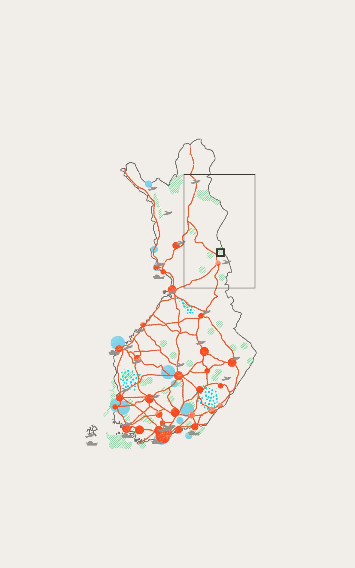
Cities and towns

National parks

UNESCO sites

UNESCO global geoparks

Main roads

Airports

Cruise ports

Case

Infrastructure

Grass

Trees / Forest
How to provide accessible wilderness experiences?
The Karhunkierros Trail is one of the most popular hiking trails in Finland. Parts of the trail have been made accessible with trail structures and necessary facilities, to allow physically challenged people to enjoy the famous river rapids along the route.
Take a hike!
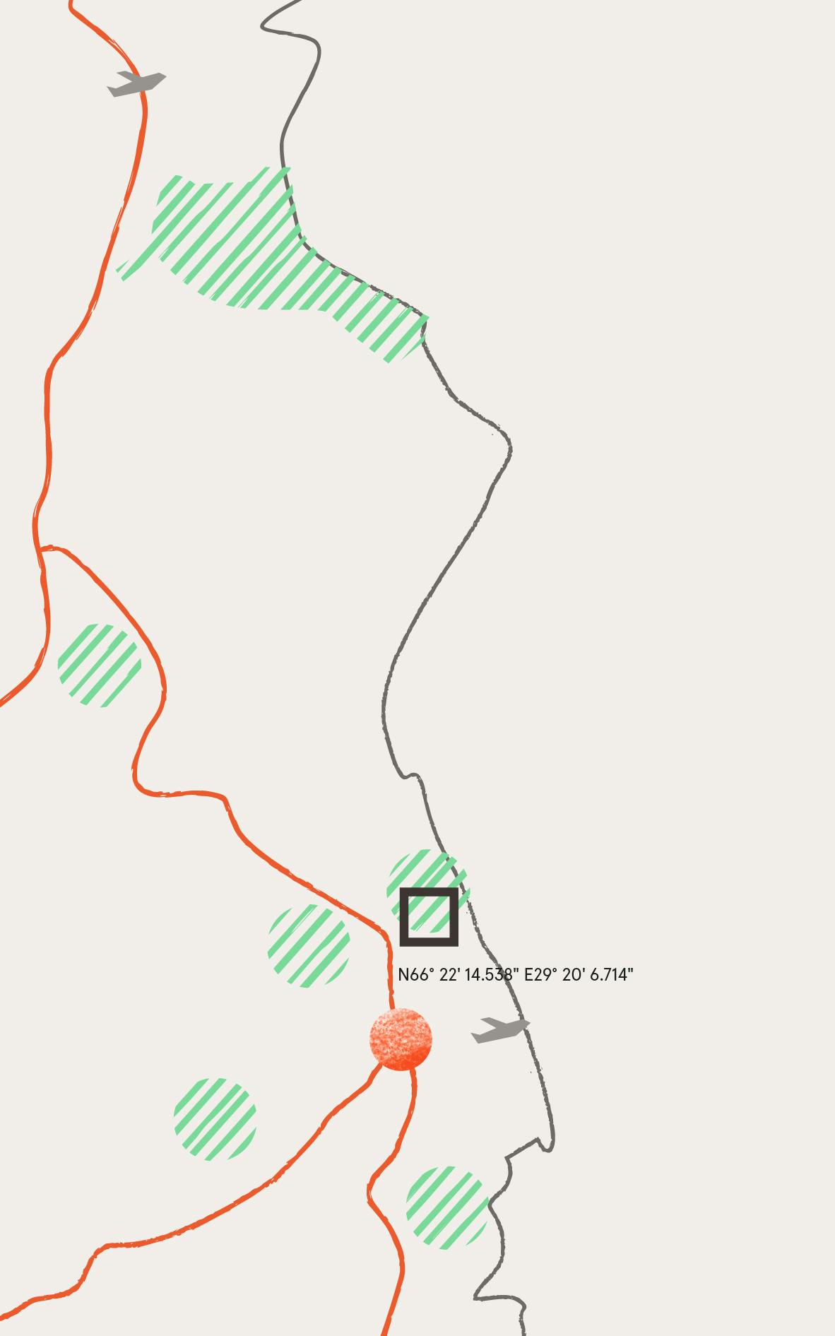
In all, the trail is 82 km long with several different tour possibilities. Along the trail there are many built structures such as bridges, wilderness huts and viewing platforms. The different trails are marked with metal-cut signs, a solution which prevents the information to wear out. Along the trail in Kiutaköngäs there is a nature centre and accessible routes and facilities such as toilets and shelters. In 2013, a memorial art piece was installed on a rock next to the Kiutaköngäs rapids for writer Reino Rinne, who was a strong activist for pushing forward a conservation law of the rivers and rapids. The park is situated on the limit of the regions of Northern Ostrobothnia and Lapland, and is bordered in the east by Russia.
Key facts
- Location
Kuusamo, Municipality of Salla, Regions of Northern Ostrobothnia and Lapland in Northern Finland
- GPS points
N66°28’07.1” E29°04’58.3”
- Protection Framework
National park
- Estimated number of visitors a year
Oulanka National Park 235,800 in 2020 (189,300 in 2019), Karhunkierros Trail ca. 60,000
- High season
July–September
- Project Owner
Metsähallitus / the state of Finland
- Year of construction
2013
- Materials
Wood, corten steel in signposts
- Landscape type
forest, river rapids