
 Siiri Tolonen
Kultala Wilderness Hut
 Site
Site Path
Path Monument
 Wildlife
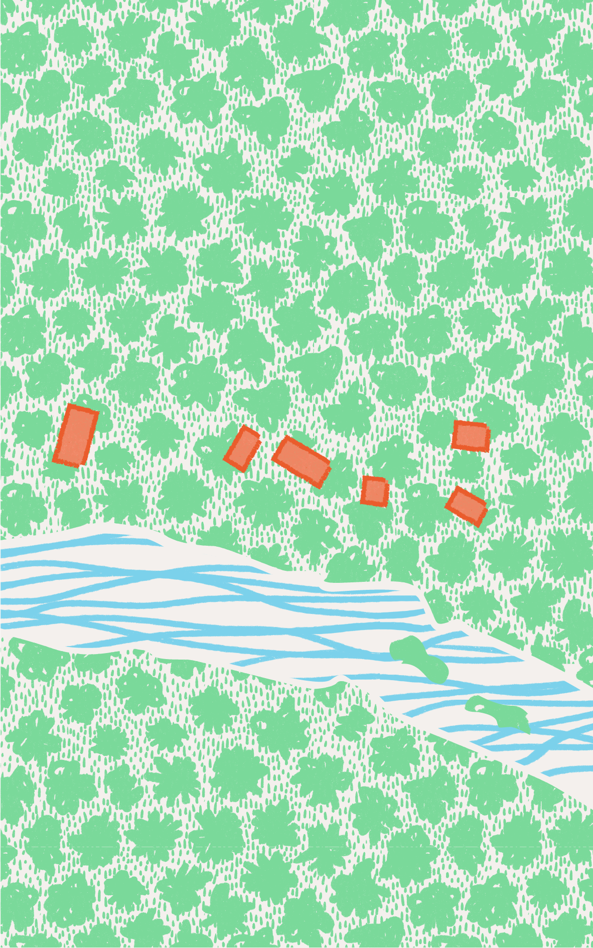
The group of houses along the Ivalojoki river was originally built in the 19th century to serve the officials who supervised the gold trade in the area. The remaining buildings have been preserved and new wilderness huts were constructed in accordance with the traditional log house.

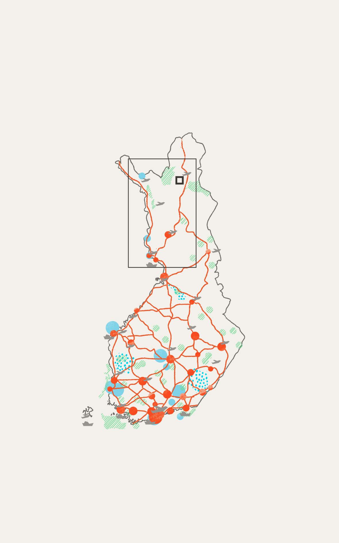
Cities and towns

National parks

UNESCO sites

UNESCO global geoparks

Main roads

Airports

Cruise ports

Case

Infrastructure

Grass

Trees / Forest

River / Ocean

How to build new in a protected milieu?
The existing buildings of the Kultala village are protected by law and some structures that had disappeared have been reconstructed. Together the group of buildings forms a museum site. New constructions needed to be designed in the same spirit.
Reminders of gold fiver in Lapland
The use of the area started originally with the Lapland gold rush in the 19th century. The original “Crown station” for gold diggers and the officials who governed the trade, was constructed by the state in 1870. At the peak of gold fever, there were hundreds of inhabitants in the village. Later most of the buildings were abandoned and destroyed, until from the 1970s onwards the remaining buildings were renovated, and some were reconstructed according to the original drawings. In 1996, a new wilderness hut was constructed in the area, with open use and rental accommodation sides. The new structures have been designed in accordance with the old and the whole is well fitted into the landscape by the river, over which extends a hanging bridge.
Key facts
- Location
Hammastunturi wilderness area, Municipality of Inari, Region of Lapland in Northern Finland
- GPS points
N68°30'22.1" E26°40'48.3"
- Protection Framework
Wilderness area, Natura 2000 conservation area, Building preservation
- Estimated number of visitors a year
22,000
- Project Owner
Metsähallitus / the state of Finland
- Year of construction
1870, 1996
- Materials
Wood (log), stone
- Landscape type
Riverside, forest